
Total station
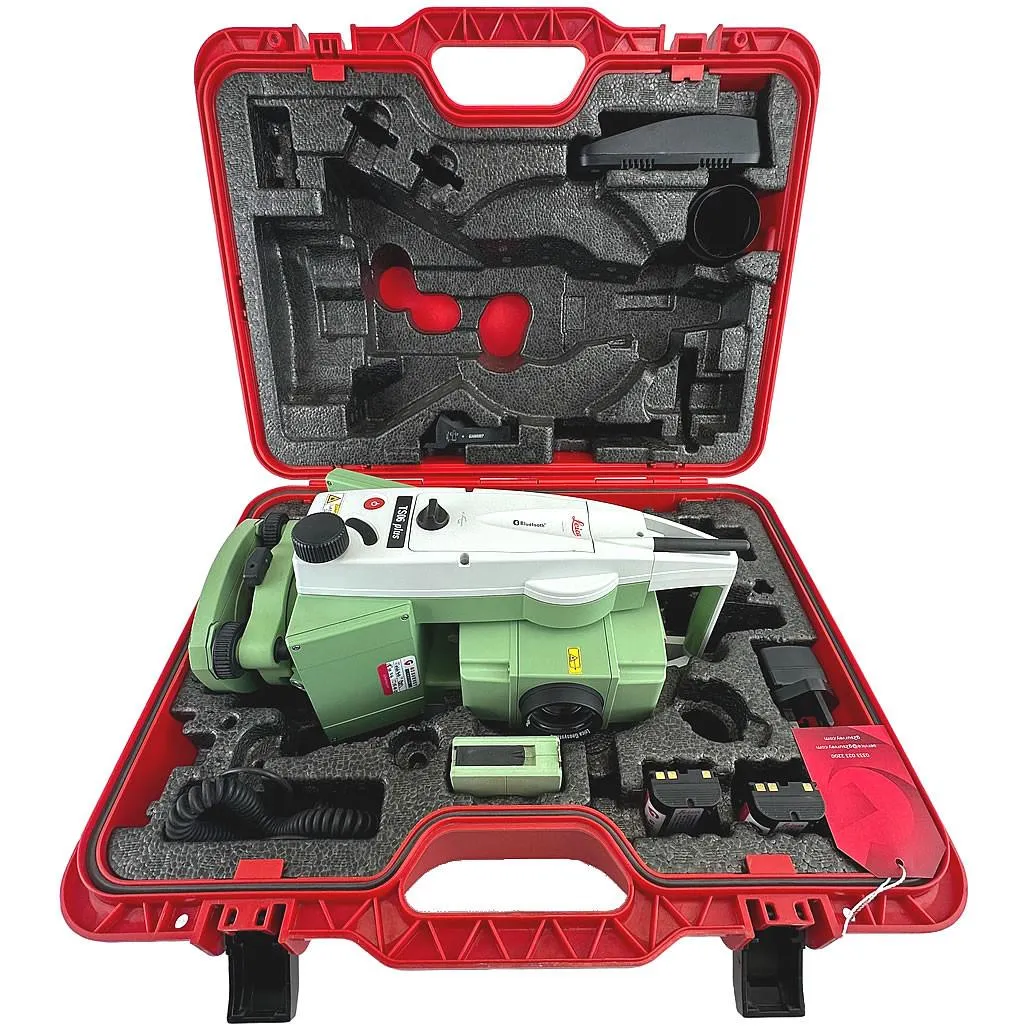
Leica TS06 Plus 5″ R500
High-precision total station for topographic surveys, setting-out works and as-built surveys.
- Equipment type
- Angle accuracy
- Reflectorless range
Development of reclamation projects for disturbed or disturbed lands — from surveying the affected site to submitting the agreed and approved project. We follow the approved instructions for reclamation of disturbed lands for oil and gas sites, quarries and industrial facilities.
These are the tasks we most often solve within this service.
Development of projects aimed at restoring disturbed lands, including adjacent land plots.
We manage the project end to end and deliver the full document package.
Inspection and analysis of the degree of site disturbance.
Development of reclamation schemes and project, coordination and issuance of the project.
Development of work technology for reclamation of disturbed lands depending on the reclamation direction.
A stage comprising measures to restore soil fertility, carried out after technical reclamation.
Coordination and issuance of the reclamation project.
High-precision total station for topographic surveys, setting-out works and as-built surveys.

Industrial drone with RTK for aerial mapping, 3D modelling and power line inspection.
December 28, 2023
December 27, 2017
August 2, 2023
No. We only develop the reclamation project as a separate service.
Use the step-by-step estimate form and we will prepare a proposal with equipment, timelines and cost.