
Total station
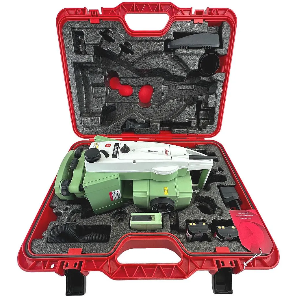
Leica TS06 Plus 5″ R500
High-precision total station for topographic surveys, setting-out works and as-built surveys.
- Equipment type
- Angle accuracy
- Reflectorless range
Engineering geodetic surveys are a complex of geodetic works to obtain accurate spatial data on terrain, site conditions, existing surface, underground and overhead facilities, utility networks and deformation processes. The results form the basis for design, construction, reconstruction, operation and other types of engineering surveys. GeoProGlobal performs a full range of engineering geodetic works including topographic surveys, construction surveying, setting out, as-built surveys, underground utility tracing, levelling, UAV aerial photography and geodynamic monitoring of fields and industrial facilities using Leica, South, DJI and Vivax Metrotech equipment.
These are the tasks we most often solve within this service.
Collection and analysis of geodetic data on terrain, site conditions, existing development, utility networks and territorial constraints for facility design.
Creation of digital terrain models and topographic plans showing relief, elevation marks, contours, utility networks and existing structures.
Engineering geodetic support for linear facilities including roads, pipelines, power lines, cable routes and utility networks.
Construction of longitudinal and cross profiles of routes for the design and construction of roads, pipelines, utility networks and other linear structures.
High-precision coordinate and elevation determination using satellite GNSS technologies for topographic surveying, setting-out, as-built surveying and monitoring.
Geodetic construction support including setting out design decisions, layout works, as-built surveying and control of geometric parameters of facilities.
Monitoring of settlement, deformation and displacement of fields, industrial and infrastructure facilities using high-precision levelling, static GNSS observations and gravimetric measurements.
Determining the location and depth of underground utility networks before design, construction, reconstruction and excavation works.
Obtaining high-precision spatial data using unmanned aerial vehicles for topographic surveys, territory monitoring and digital terrain model construction.
We manage the project end to end and deliver the full document package.
Processing archive topographic, cartographic and cadastral materials.
Field inspection and planning of horizontal and vertical control points.
Topographic survey at scales from 1:100 to 1:10,000 and detailed utility surveying.
Calculations, DTM creation, profile drafting and technical report preparation.
Delivery of the report in digital and hard-copy formats, with materials defended when required.
High-precision total station for topographic surveys, setting-out works and as-built surveys.
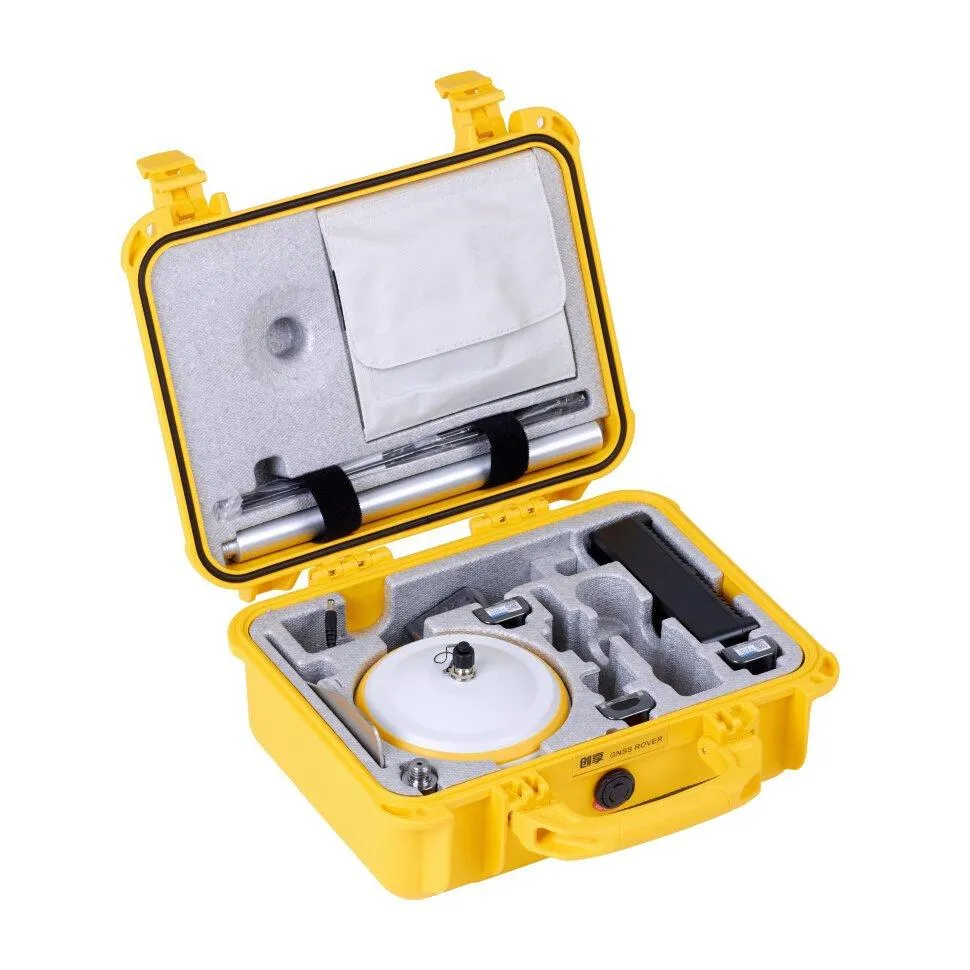
RTK receiver with IMU up to 60°, FIX reliability > 99.99%, base and rover operation.
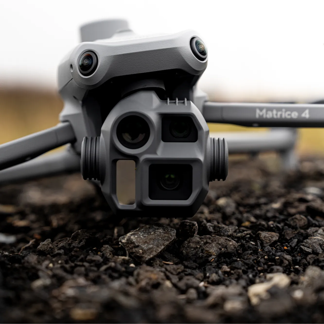
Industrial drone with RTK for aerial mapping, 3D modelling and power line inspection.
December 28, 2023
From 1:100 for detailed design to 1:10,000 for overview plans. The choice depends on the task; we advise during brief preparation.
Yes, we work across Kazakhstan. We deliver projects in any region of Kazakhstan. Field crews with SHACMAN vehicles are ready to mobilize anywhere in the country.
Use the step-by-step estimate form and we will prepare a proposal with equipment, timelines and cost.