
Total station
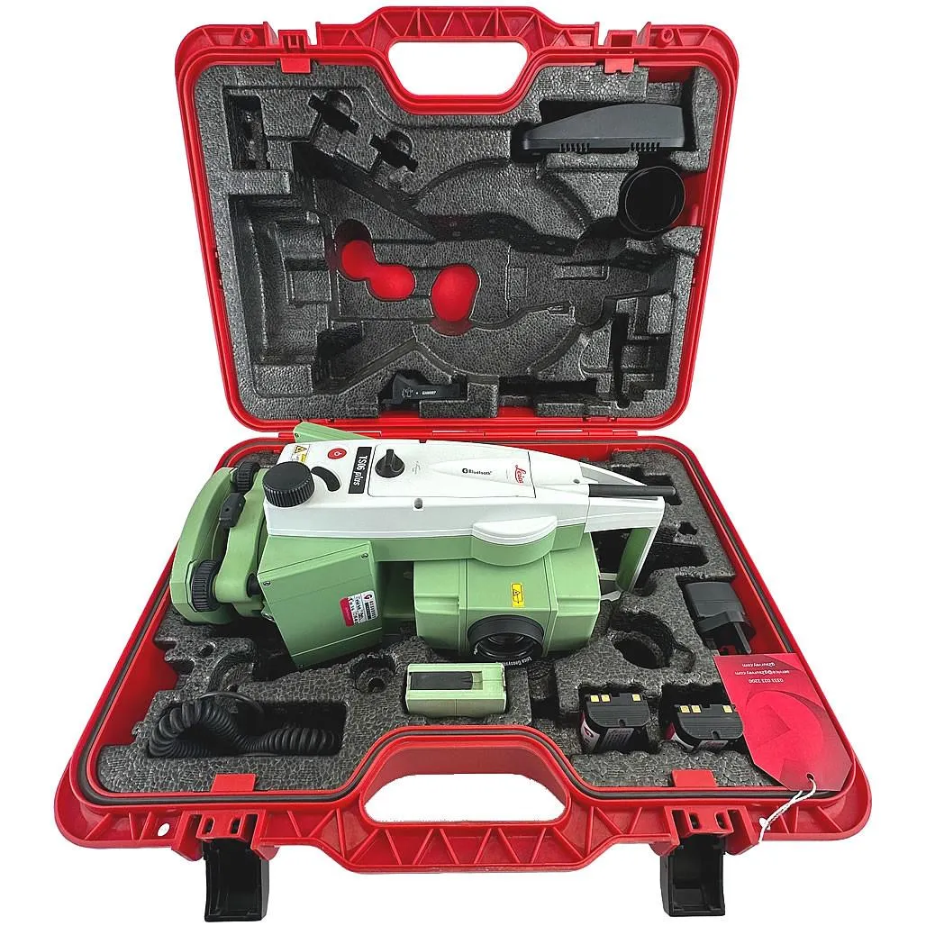
Leica TS06 Plus 5″ R500
High-precision total station for topographic surveys, setting-out works and as-built surveys.
- Equipment type
- Angle accuracy
- Reflectorless range
GeoProGlobal develops land management projects for individuals and legal entities — for construction, subsurface use, utility networks and other public or private needs. We work with all types of land rights and manage the project from application to identification documents.
These are the tasks we most often solve within this service.
Registration of a land plot from state-owned land, with full project management from plot selection to receipt of the identification document.
We form new plots from private land owned by individuals or legal entities, as well as land held under temporary land use.
Merged plots must be adjacent and have homogeneous rights. We follow Kazakhstan urban-planning requirements and account for pledgeholders, tenants and servitudes.
Changing configuration, boundaries or area. We prepare a plan diagram to obtain a positive land commission opinion, then develop the full land management project on its basis.
Support for land acquisition or buyout procedures for public needs, from valuation to execution of the decision.
Geodetic establishment and restoration of lost land plot boundaries with boundary markers fixed on site. Independent verification of actual plot dimensions against title documents or before a transaction.
Support for the digital procedure of land plot allocation via the Unified State Cadastre Network: selecting a free plot, submitting an application via the cadastral map, preparing materials and accompanying approvals at authorized bodies.
We manage the project end to end and deliver the full document package.
Receiving the application for a land management project.
Collecting archive, cadastral and cartographic materials and carrying out a field inspection.
Preparing the graphic and explanatory parts of the project under Kazakhstan law.
Compiling the project into a single document for approval.
Approval of the land management project by local executive bodies and receipt of title documents.
Setting out the project on site, fixing boundaries and handing results to the client.
Filing an application to receive identification documents (state act) and obtaining registration.
High-precision total station for topographic surveys, setting-out works and as-built surveys.
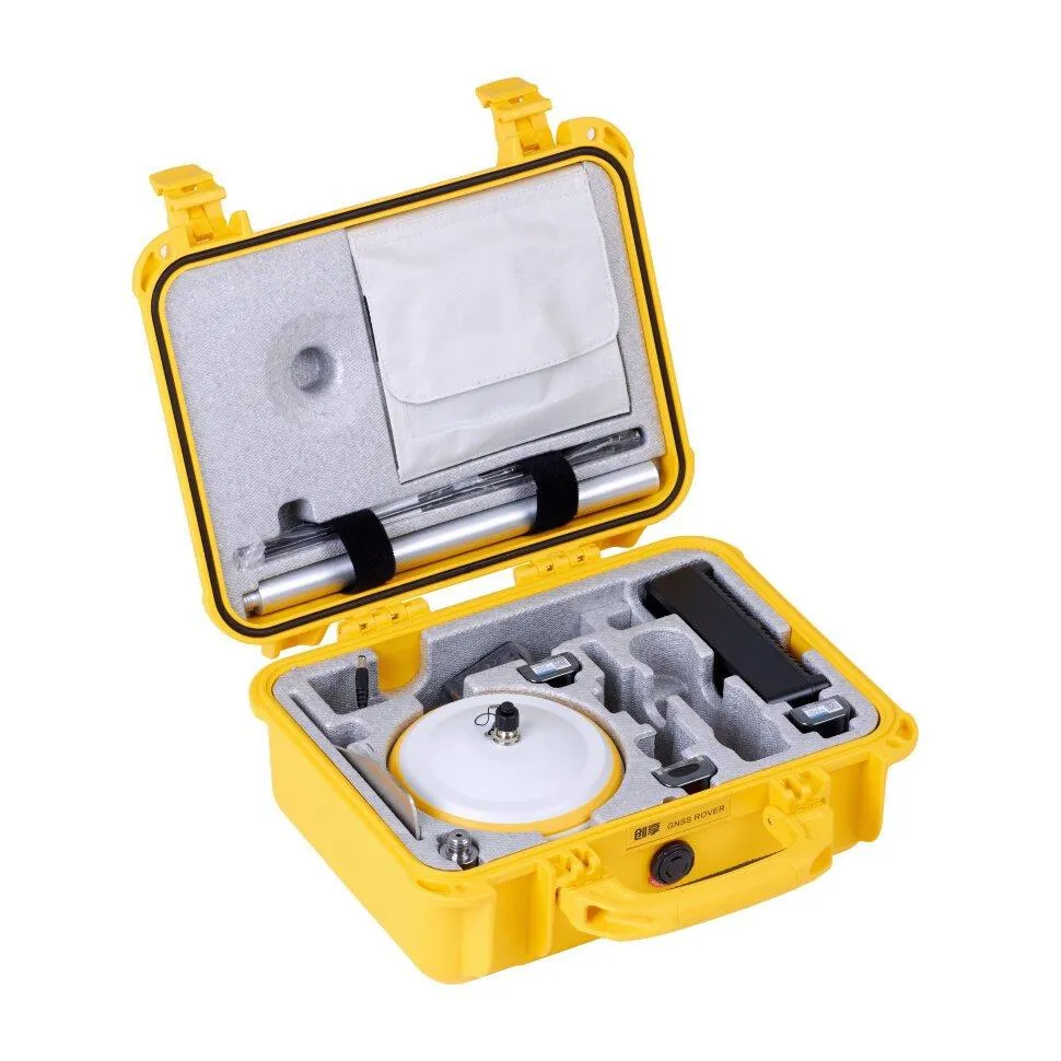
RTK receiver with IMU up to 60°, FIX reliability > 99.99%, base and rover operation.
June 20, 2003
December 28, 2023
June 3, 2022
December 23, 2014
The standard timeline is 14 to 45 business days depending on the work type and workload of the authorized body. Boundary establishment and restoration can be completed in 1 to 3 days.
A positive land commission opinion, the ID of an individual or the registration certificate of a legal entity, and a power of attorney if needed. The full list depends on the work type; we clarify it during the first consultation.
Use the step-by-step estimate form and we will prepare a proposal with equipment, timelines and cost.