
Total station
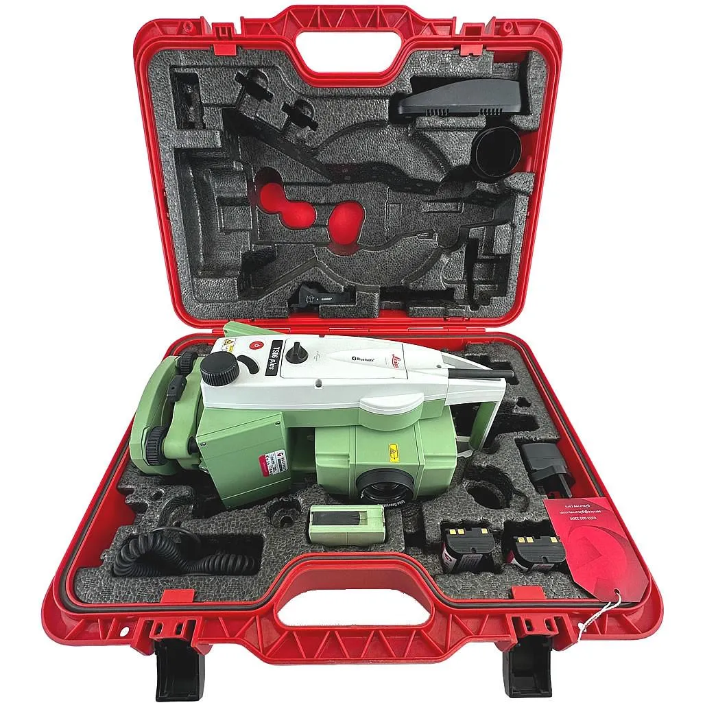
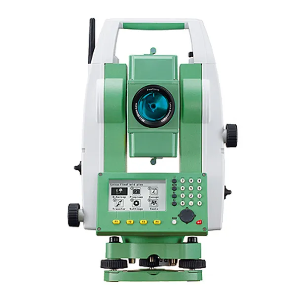
Leica TS06 Plus 5″ R500
High-precision total station for topographic surveys, setting-out works and as-built surveys.
- Equipment type
- Angle accuracy
- Reflectorless range
Our instruments meet international standards. All GNSS receivers and total stations undergo annual calibration.
High-precision total station for topographic surveys, setting-out works and as-built surveys.
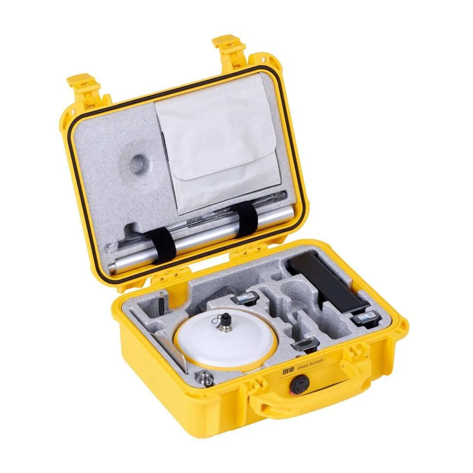
RTK receiver with IMU up to 60°, FIX reliability > 99.99%, base and rover operation.
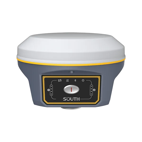
Professional GNSS RTK receiver supporting all major satellite systems with tilt compensation and base/rover operation.
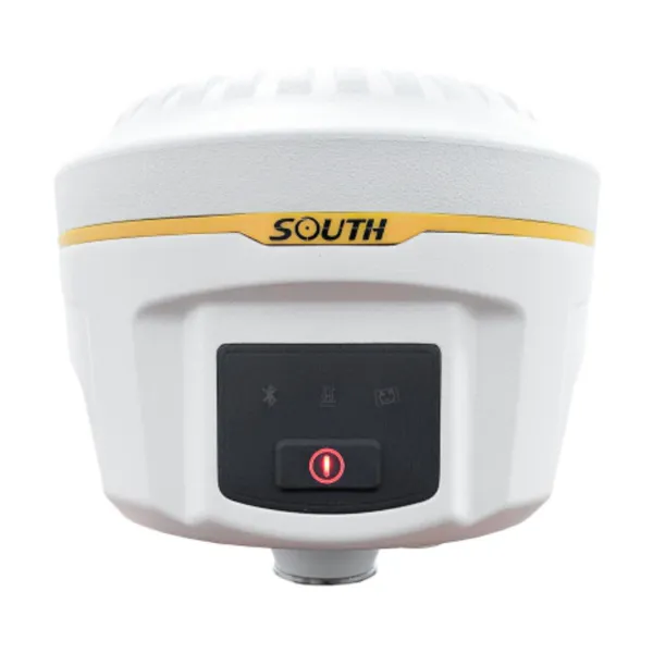
Flagship GNSS RTK receiver with 1598 channels, IMU up to 60°, IP68 and hot-swap batteries.
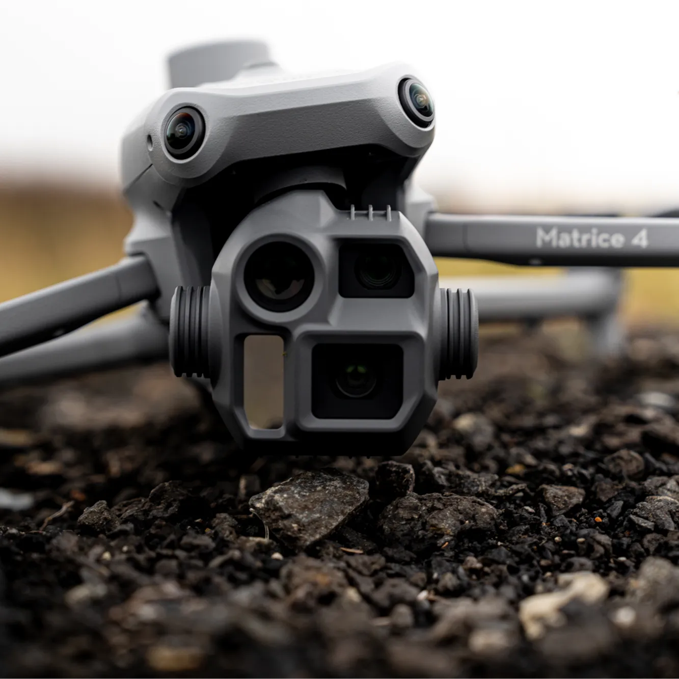
Industrial drone with RTK for aerial mapping, 3D modelling and power line inspection.
Digital level for class I–IV levelling and structural settlement monitoring.
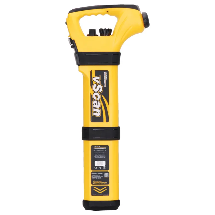
Underground cable and pipeline locating with depth and current measurement.
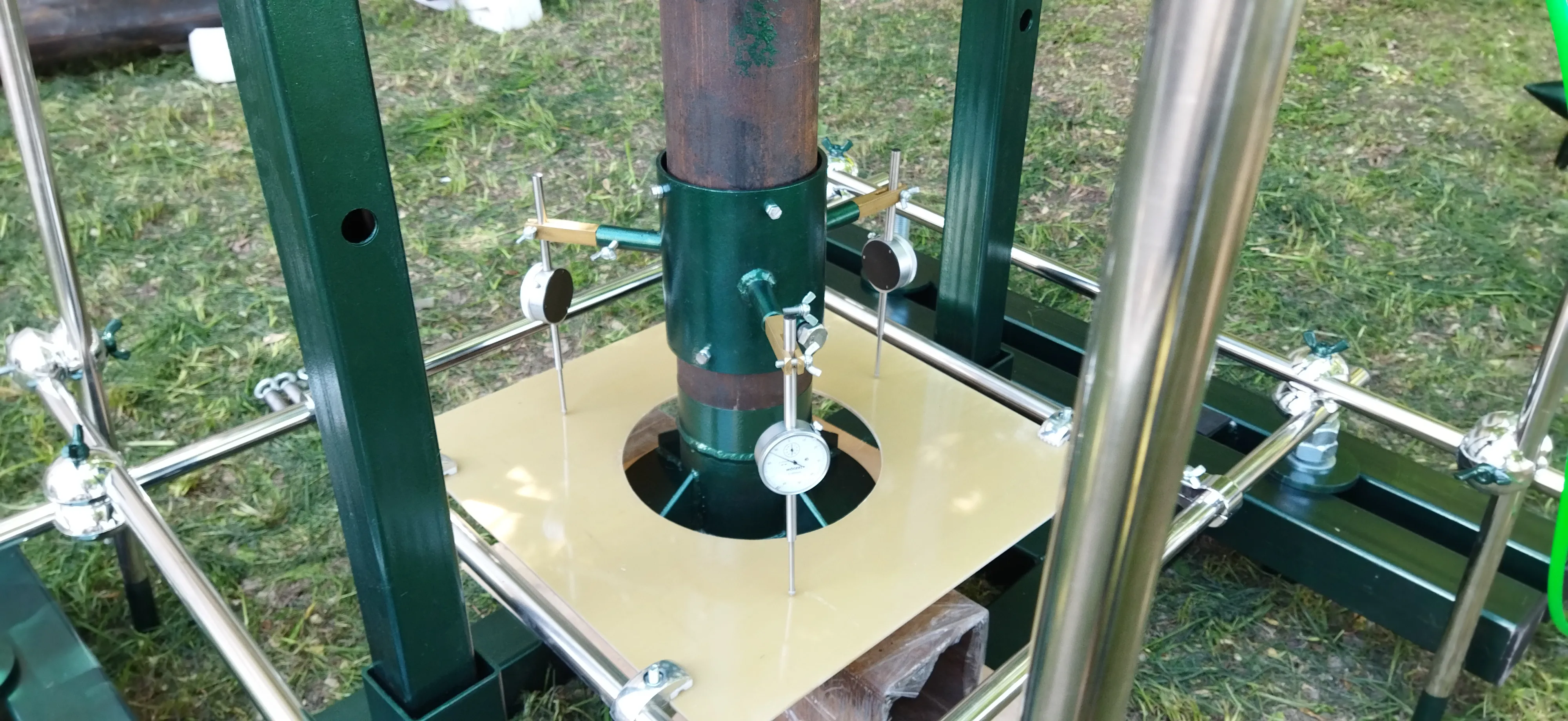
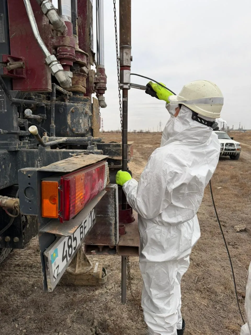
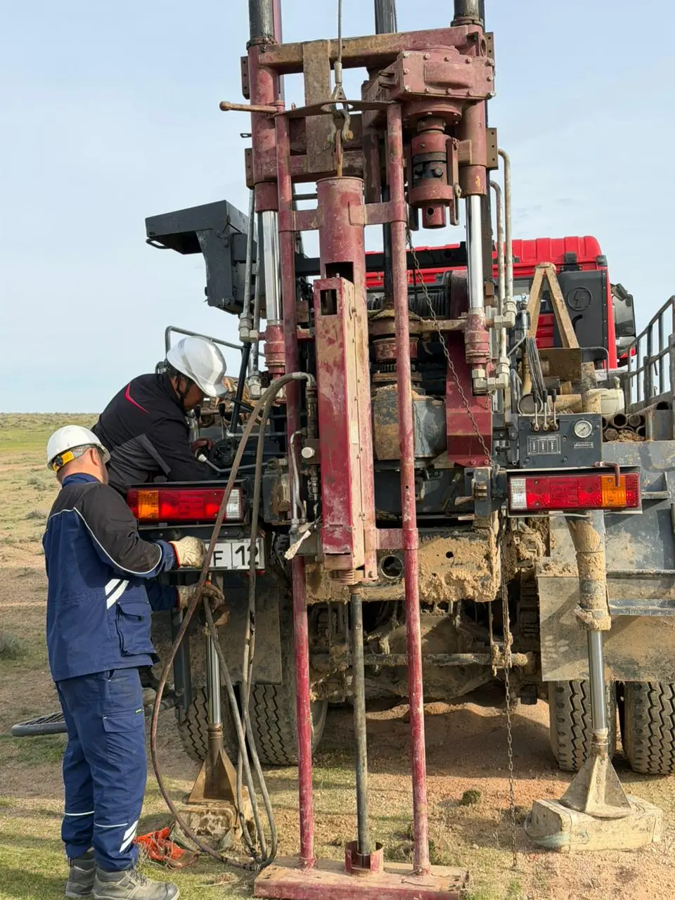
Plate bearing rig (600 cm²) for deformation modulus determination in trial pits and excavations.
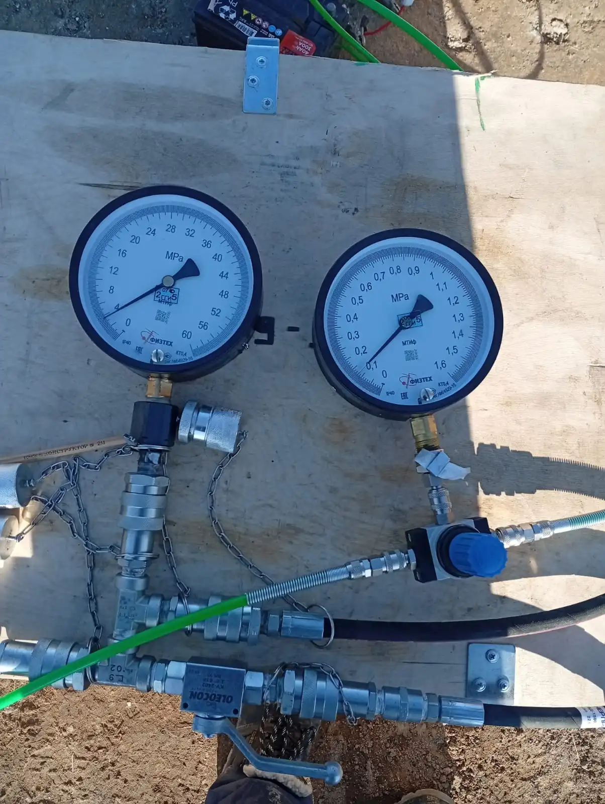
Borehole plate bearing rigs for critical structures, high-rise construction and soft soils.
Continuous profile of soil strength and deformation properties with depth, without core sampling.
Assessment of density and bearing capacity of dense, gravelly and coarse-grained soils.
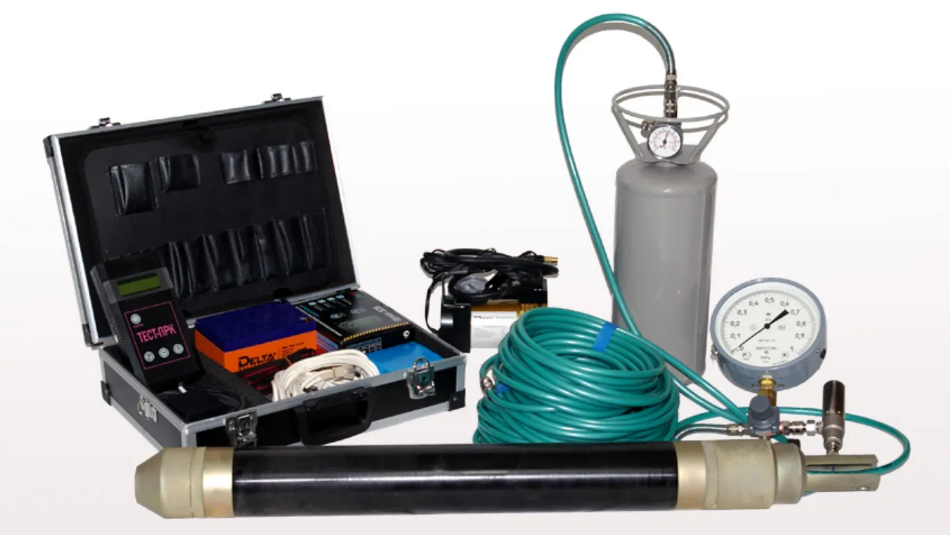
Determination of deformation modulus and strength characteristics at borehole depth.
We will select the right combination of instruments and crews for your region, accuracy and timeline.